US city elevations, in interactive 3D.
How high is your city — and what does the land around it actually look like? Each city here has a fine-resolution 3D terrain map you can grab and spin, plus its elevation and how it sits within its state, all computed from the Copernicus GLO-30 satellite model.
57 cities across 16 states so far, grouped below by state. Open any one to see its terrain in 3D, or start from the state maps it sits inside.
See it in 3D
Three cities, three kinds of terrain
Denver on the plains at the foot of the Front Range, Breckenridge high in the Rockies among the fourteeners, and Jackson Hole under the sheer wall of the Tetons. Each map below is live — scroll to it and it loads in 3D; drag to spin it, and open the full page for its elevation and surroundings.
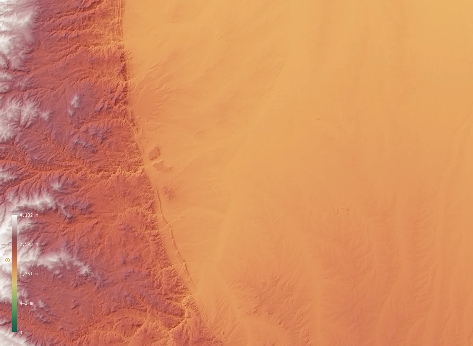
Denver, Colorado · 5,285 ft (1,611 m)
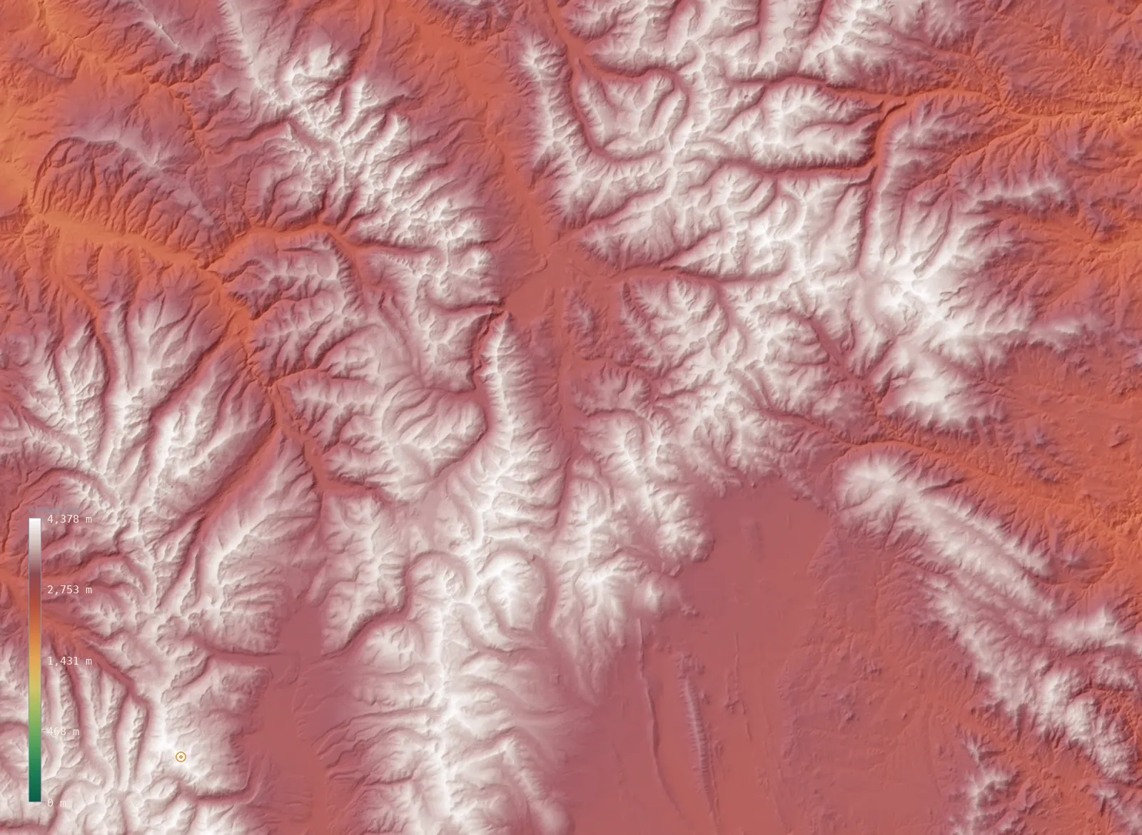
Breckenridge, Colorado · 9,747 ft (2,971 m)
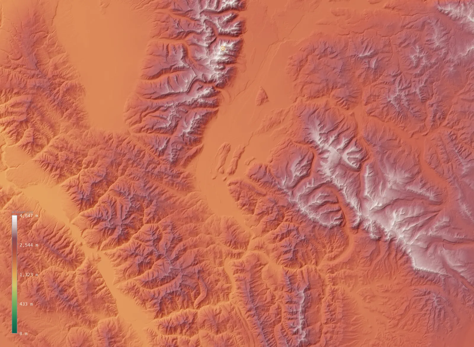
Jackson Hole, Wyoming · 6,243 ft (1,903 m)
Related
All 50 US states →Average elevation by state →The flattest states →Elevation vs altitude →Home →
Rendered from Copernicus GLO-30 (ESA). Each city’s elevation is a native ~30 m windowed-median sample; its 3D map is a fine per-city crop of the same model.