The world’s mountain ranges, in interactive 3D.
16 ranges, each cut from its real GMBA boundary and the same Copernicus GLO-30 satellite model — the whole arc on interactive 3D terrain, from the Himalaya to the Ozarks on one scale.
Open any one and it renders as real terrain you can grab, tilt and spin, with the figures computed straight from the model — its highest peak, elevation range, relief and the countries it crosses. The surrounding land is there too, in muted relief, so each range sits in its place.
See it in 3D
Three of the great ranges
The Himalaya, the roof of the world; the Andes, running the length of a continent; and the Alps. Each map below is live — scroll to it and it boots in 3D; drag to spin it, and open the full page for its elevation profile and great peaks.
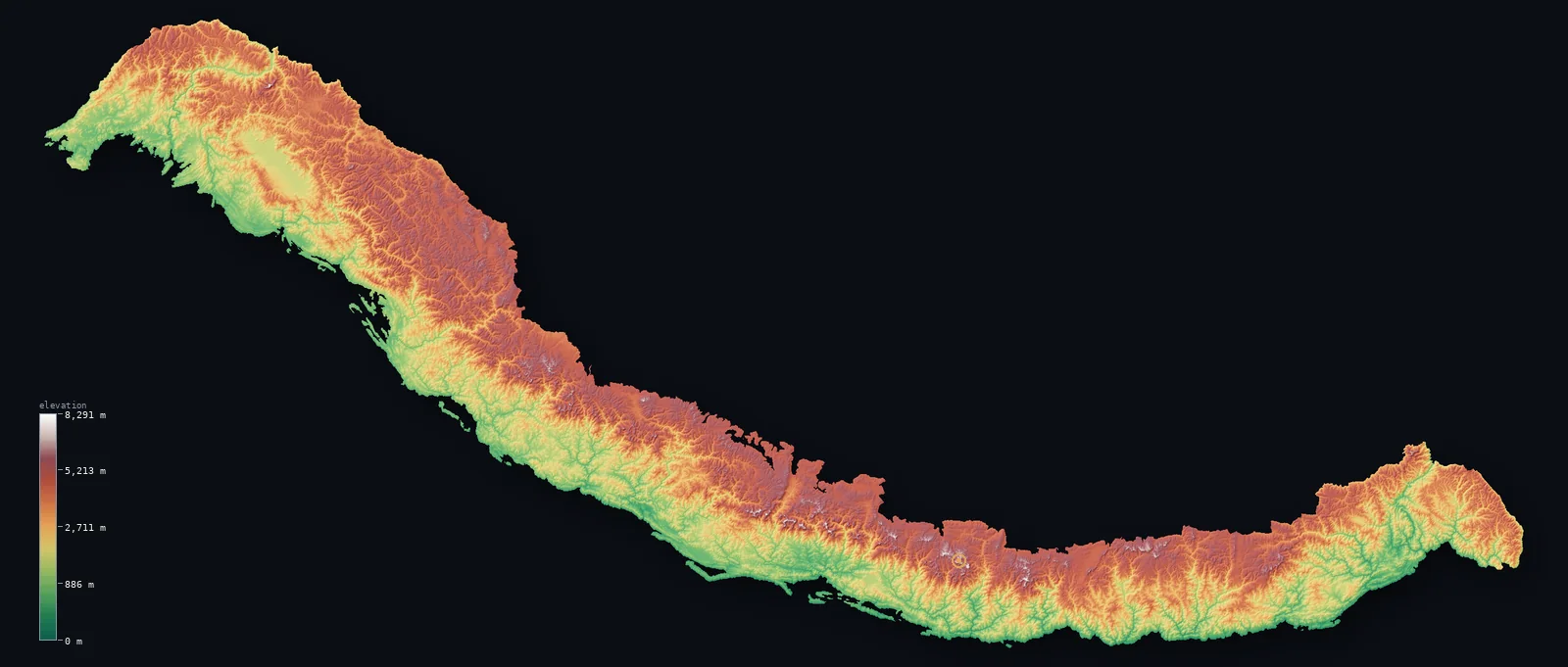
Highest point Mount Everest, 8,848.86 m
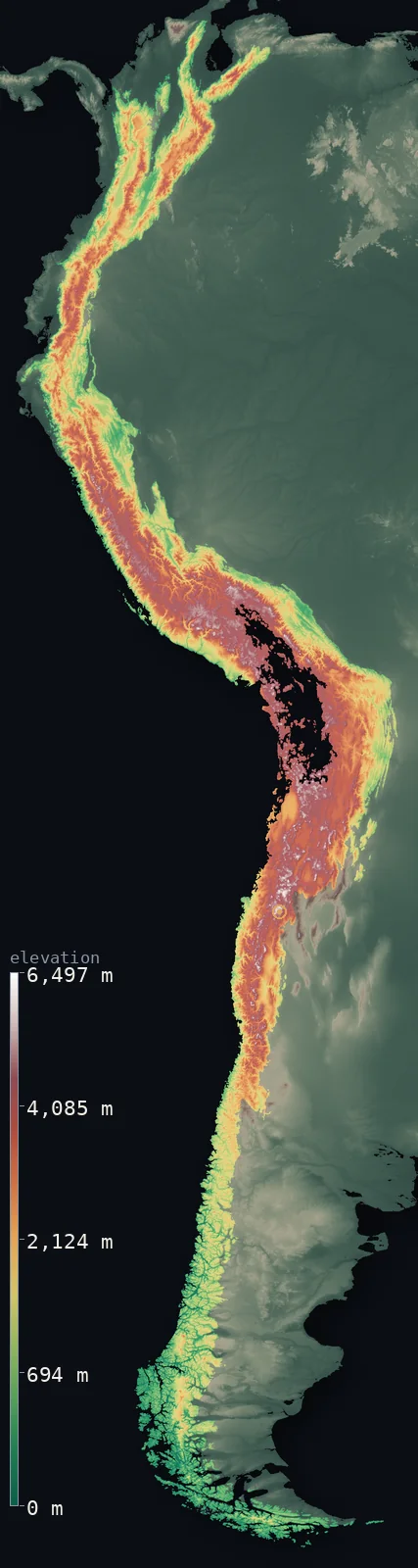
Highest point Aconcagua, 6,961 m
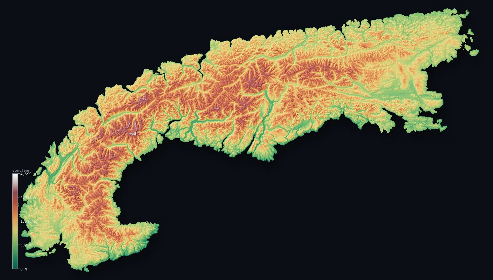
Highest point Mont Blanc, 4,805.59 m
Every range
All 16 ranges in 3D
From the highest to the most worn-down — open any range to explore its terrain and read its computed statistics.
- Himalayas
Rises to Mount Everest at 29,032 ft (8,849 m) — extreme-relief terrain across 5 countries.
- Mean
- 10,056 ft (3,065 m)
- · Range
- 26,886 ft (8,195 m)
- Area
- 555,865 km²
- Andes
Rises to Aconcagua at 22,838 ft (6,961 m) — extreme-relief terrain across 7 countries.
- Mean
- 7,575 ft (2,309 m)
- · Range
- 21,316 ft (6,497 m)
- Area
- 1,969,538 km²
- Alps
Rises to Mont Blanc at 15,766 ft (4,806 m) — extreme-relief terrain across 7 countries.
- Mean
- 4,495 ft (1,370 m)
- · Range
- 15,417 ft (4,699 m)
- Area
- 173,566 km²
- Sierra Nevada
Rises to Mount Whitney at 14,505 ft (4,421 m) — extreme-relief terrain within a single country.
- Mean
- 5,689 ft (1,734 m)
- · Range
- 14,068 ft (4,288 m)
- Area
- 62,142 km²
- Rockies
Rises to Mount Elbert at 14,439 ft (4,401 m) — high-relief terrain across 2 countries.
- Mean
- 6,611 ft (2,015 m)
- · Range
- 12,966 ft (3,952 m)
- Area
- 580,430 km²
- Cascades
Rises to Mount Rainier at 14,409 ft (4,392 m) — extreme-relief terrain across 2 countries.
- Mean
- 3,576 ft (1,090 m)
- · Range
- 14,278 ft (4,352 m)
- Area
- 114,483 km²
- Atlas Mountains
Rises to Toubkal at 13,671 ft (4,167 m) — high-relief terrain across 3 countries.
- Mean
- 3,714 ft (1,132 m)
- · Range
- 12,953 ft (3,948 m)
- Area
- 192,885 km²
- Pyrenees
Rises to Aneto at 11,168 ft (3,404 m) — high-relief terrain across 3 countries.
- Mean
- 3,652 ft (1,113 m)
- · Range
- 10,738 ft (3,273 m)
- Area
- 39,932 km²
- Dolomites
Rises to Marmolada at 10,968 ft (3,343 m) — high-relief terrain within a single country.
- Mean
- 4,990 ft (1,521 m)
- · Range
- 10,112 ft (3,082 m)
- Area
- 6,291 km²
- Appalachians
Rises to Mount Mitchell at 6,683 ft (2,037 m) — moderate-relief terrain across 2 countries.
- Mean
- 2,034 ft (620 m)
- · Range
- 6,211 ft (1,893 m)
- Area
- 129,637 km²
- Blue Ridge Mountains
Rises to Mount Mitchell at 6,683 ft (2,037 m) — moderate-relief terrain within a single country.
- Mean
- 2,661 ft (811 m)
- · Range
- 6,175 ft (1,882 m)
- Area
- 32,299 km²
- Great Smoky Mountains
Rises to Kuwohi (Clingmans Dome) at 6,644 ft (2,025 m) — moderate-relief terrain within a single country.
- Mean
- 2,959 ft (902 m)
- · Range
- 5,801 ft (1,768 m)
- Area
- 3,161 km²
- White Mountains
Rises to Mount Washington at 6,289 ft (1,917 m) — moderate-relief terrain within a single country.
- Mean
- 1,923 ft (586 m)
- · Range
- 5,853 ft (1,784 m)
- Area
- 6,291 km²
- Adirondacks
Rises to Mount Marcy at 5,344 ft (1,629 m) — moderate-relief terrain within a single country.
- Mean
- 1,877 ft (572 m)
- · Range
- 5,190 ft (1,582 m)
- Area
- 6,417 km²
- Catskills
Rises to Slide Mountain at 4,180 ft (1,274 m) — moderate-relief terrain within a single country.
- Mean
- 1,962 ft (598 m)
- · Range
- 3,825 ft (1,166 m)
- Area
- 4,283 km²
- Ozarks
Rises to Turner Ward Knob at 2,454 ft (748 m) — low-relief terrain within a single country.
- Mean
- 1,430 ft (436 m)
- · Range
- 1,857 ft (566 m)
- Area
- 1,654 km²