Map of the Himalayas
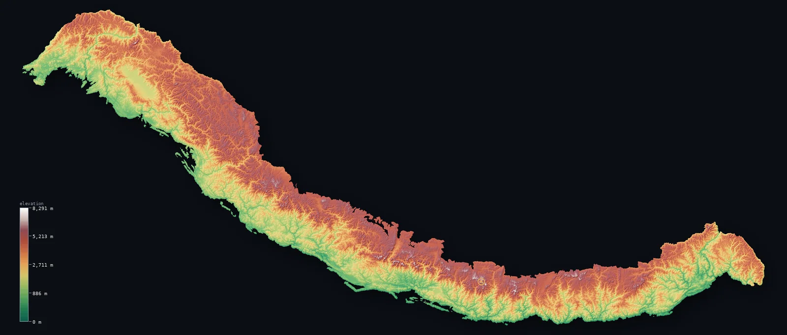
The whole Himalayas on real terrain, from our satellite elevation model — the full arc masked to the range’s mapped boundary, with 9 of its great peaks pinned (each labelled with its surveyed height). Mount Everest tops them all at 29,032 ft (8,848.86 m). Drag to spin it (two-finger to orbit on mobile).
Where are the Himalayas?
The Himalayas span India, China (Tibet region), Nepal, Pakistan and Bhutan.
Because the national boundaries through the range are intricate and in places disputed, this page names the countries the Himalayas cross rather than assigning each a share. Range boundary: GMBA Mountain Inventory v2.0 (standard extent). Country outlines: geoBoundaries ADM0.
The highest peak: Mount Everest
The highest point of the Himalayas is Mount Everest, at 29,032 ft (8,848.86 m) (2020 China–Nepal joint survey) — the highest mountain on Earth. Its summit is a cap of snow and ice and is remeasured periodically; the headline is the surveyed height, not the satellite grid.
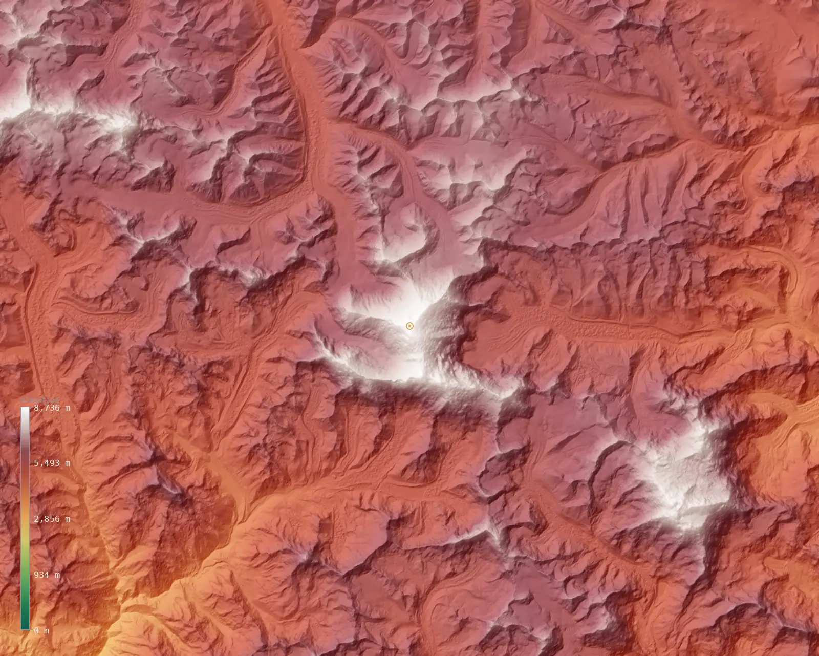
Zooming to the roof of the range — a fine ~59 m model of the Mount Everest massif.
Great peaks of the Himalayas
The range’s principal 8,000-metre peaks. K2 and the other Karakoram giants belong to a separate range and are not shown. Each is pinned on the map above; the heights here are the surveyed figures.
| Peak | Elevation | Country | Note |
|---|---|---|---|
| Mount Everesthighest | 29,032 ft (8,848.86 m) | Nepal / China (Tibet) | Highest mountain on Earth (2020 survey) |
| Kangchenjunga | 28,169 ft (8,586 m) | Nepal / India | 3rd-highest on Earth; highest in India |
| Lhotse | 27,940 ft (8,516 m) | Nepal / China (Tibet) | 4th-highest on Earth |
| Makalu | 27,838 ft (8,485 m) | Nepal / China (Tibet) | 5th-highest on Earth |
| Cho Oyu | 26,864 ft (8,188 m) | Nepal / China (Tibet) | 6th-highest on Earth |
| Dhaulagiri I | 26,795 ft (8,167 m) | Nepal | 7th-highest on Earth |
| Nanga Parbat | 26,660 ft (8,126 m) | Pakistan | 9th-highest; western anchor of the Himalaya |
| Annapurna I | 26,545 ft (8,091 m) | Nepal | 10th-highest; first 8,000er climbed (1950) |
| Shishapangma | 26,335 ft (8,027 m) | China (Tibet) | 14th-highest; only 8,000er entirely in Tibet |
Relief and elevation range
Across the mapped range the land runs from about 315 ft (96 m) on the valley floors to 27,201 ft (8,291 m) at the highest ground — a vertical range of 26,886 ft (8,195 m), which puts the Himalayas in the extreme-relief class. The mean elevation is 10,056 ft (3,065 m) and the median 10,121 ft (3,085 m); the two sitting close together says the height is spread broadly across the range, not concentrated in a few peaks over otherwise low ground.
The distribution above is the share of the range’s area at each elevation, computed from the same satellite model as the maps. It reads the Himalayas as a true massif — a large area held high — rather than a thin crest.
Himalayas FAQ
- How many countries do the Himalayas cross?
- The Himalayas span 5 countries: India, China (Tibet region), Nepal, Pakistan and Bhutan.
- How long are the Himalayas?
- The Himalayas arc roughly 2,400 km in an arc across northern Pakistan, India, Nepal, Bhutan, and Tibet. The map above shows that whole arc masked to the range’s mapped boundary.
- How were the Himalayas formed?
- The Himalayas were thrown up by the ongoing collision of the Indian and Eurasian tectonic plates, a collision still under way that continues to lift the range today.
- Is Mount Everest the highest peak in the Himalayas?
- Yes. Mount Everest, at 29,032 ft (8,848.86 m), is the highest point anywhere in the Himalayas. The next-highest of the peaks pinned here, Kangchenjunga, is about 863 ft (263 m) lower.
Related ranges
More of the world’s mountains, rendered the same way — explore other ranges in 3D.
- Alps↑ Mont Blanc, 15,766 ft (4,805.59 m)
- Pyrenees↑ Aneto, 11,168 ft (3,404 m)
- Atlas Mountains↑ Toubkal, 13,671 ft (4,167 m)
- Andes↑ Aconcagua, 22,838 ft (6,961 m)
- Rockies↑ Mount Elbert, 14,439 ft (4,401 m)
- Cascades↑ Mount Rainier, 14,409 ft (4,392 m)
Elevation from Copernicus GLO-30 (ESA), sampled over the range and masked to its boundary. The range boundary is the GMBA Mountain Inventory v2.0 (standard extent; Snethlage et al. 2022, CC BY 4.0). Country outlines from geoBoundaries. Every figure on this page is computed from these sources; the surveyed Mount Everest height is the one exception, cited above. See the methodology. Data as of 2026-08-21.