Tuvalu Elevation Map — Topographic & 3D Terrain
Explore the terrain of Tuvalu in interactive 3D, built from Copernicus GLO-30 satellite elevation data — nine tiny, very low coral islands, one of the lowest and smallest countries on Earth. Drag to rotate, scroll to zoom, and tap any point to read its elevation.
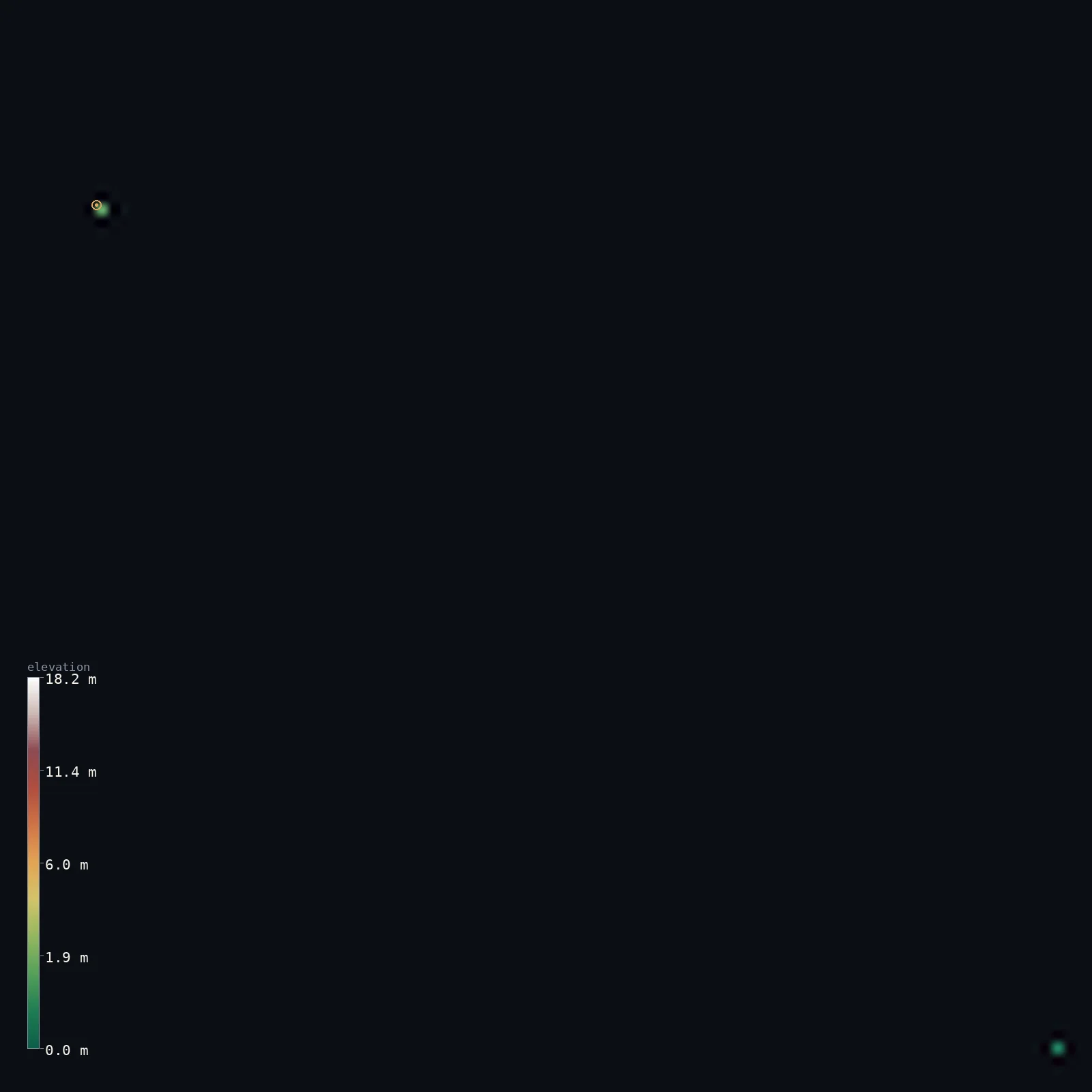
Tuvalu’s highest point is Niulakita (unnamed high point) at 15 ft (4.6 m); its lowest is Pacific Ocean at 0 ft (0 m); the mean elevation is 2 ft (0.7 m).
Tuvalu is one of the lowest and smallest countries on Earth — nine tiny islands, six true atolls and three reef islands, all built of coral debris heaped onto reef by wind and wave. The land is a broken ring of very low sandy islets, only a few metres high and in places tens of metres wide; the whole country averages under about 2 m above the sea. Its very highest ground is an unnamed dune of just 15 ft (4.6 m) on the southern island of Niulakita — the second-lowest national high point on Earth, after the Maldives. Half the land lies above about 4 ft (1.3 m).
- Highest point📚
- 15 ft4.6 m
- Tuvalu's highest point is an unnamed spot just 15 ft (4.6 m) above sea level, on the small southern island of Niulakita — the second-lowest maximum elevation of any country, after the Maldives. Even this high ground is only a narrow storm-built dune, liable to be overtopped in cyclones; there are no hills, only low coral.
- Lowest point📚
- 0 ft0 m
- Tuvalu's lowest point is sea level — the Pacific surrounds all nine of its tiny islands, whose land averages under about 2 m above the tide.
- Mean elevation⚙
- 2 ft0.7 m
- Computed from the GLO-30 model, Tuvalu's mean elevation is 2 ft (0.7 m) — for Tuvalu is almost flat, the whole country averaging under about 2 m above the sea, among the lowest of any nation. Half the land lies above about 4 ft (1.3 m); the highest ground of all rises only to 4.6 m.
- Median elevation⚙
- 4 ft1.3 m
- Half of Tuvalu lies above about 4 ft (1.3 m) — which only underlines how low the whole country is: nine tiny atolls and reef islands of coral sand, most of it barely above the tide, the very highest point a 4.6 m dune.
- Elevation range📚
- 15 ft4.6 m
- From sea level to the 4.6 m dune on Niulakita, Tuvalu's terrain spans only about 15 ft — the smallest elevation range of almost any country, the flat relief of very low coral atolls.
- Official area📚
- 10 mi²26 km²
- Tuvalu covers just 10 sq mi (26 sq km) of land — nine tiny islands (six atolls and three reef islands) scattered across hundreds of kilometres of the west-central Pacific, the fourth-smallest country in the world.
- Forest cover📚
- 33.3%
- About a third of Tuvalu is counted as vegetated — coconut palm, pandanus and breadfruit on the narrow atoll islets — though there is no upland forest; the land is coral sand only a metre or two above the sea.
Highest and lowest points
Tuvalu's highest point is not a hill but a dune: an unnamed spot just 15 ft (4.6 m) above the sea, on the small southern island of Niulakita — the second-lowest maximum elevation of any country, after the Maldives. Even this high ground is only a narrow, storm-built ridge of sand on the ocean side of the island, liable to be overtopped and reshaped by cyclones. Tuvalu has no hills anywhere — its nine islands are low coral atolls and reef islands, the whole country averaging under about 2 m above the tide. Niulakita is the small southernmost island, well apart from the main group, so on this map it lies beyond the main area shown.
source ↗Tuvalu's lowest ground is sea level, and almost the whole country is barely above it. Its nine islands — six true atolls and three reef islands — are built entirely of coral debris eroded from the reefs and heaped onto the islets by wind and waves. Funafuti, the capital, is an atoll whose lagoon runs about 25 km; its islets, like Fongafale, are only a few metres high and in places just tens of metres wide. The land averages under about 2 m above the sea, and its very highest ground — an unnamed storm dune of about 4.6 m on the small southern island of Niulakita — is the second-lowest national high point of any country, after the Maldives. That dune sits on the ocean side of the island and can be stripped away or rebuilt by a single cyclone. With so little land above the tide, the whole nation lies at the mercy of storm surges and rising seas.
source ↗Niulakita (unnamed high point) lies on an outlying part of Tuvalu, beyond the main map area, so it is not the highest ground shown. Within the mapped area the highest pixel reaches 60 ft (18.2 m). The headline figure above is the surveyed elevation of the recognised national high point.
At 15 ft (4.6 m), Niulakita (unnamed high point) sits below what GLO-30 (30 m) can resolve, so the model reads the surface as flat — the figure shown is the surveyed elevation.
Tuvalu at a glance
Tuvalu's highest point is only about 4.6 m above sea level - the second-lowest of any country, after the Maldives.
source ↗The country's average elevation is under about 2 m, so almost the whole nation is barely above the sea.
source ↗The highest ground is usually a storm dune, which a single cyclone can wash away or pile up anew.
source ↗With only about 26 km2 of land, Tuvalu is the fourth-smallest country in the world.
source ↗Its nine islands are scattered across hundreds of kilometres of open Pacific just west of the International Date Line.
source ↗
Elevation profile of Tuvalu
The largest share of land, 50%, falls in the 1–1 m band, and 100% of the territory lies below 500 m (1,640 ft).
- 0–10 m (0–33 ft)100%
Highest peaks of Tuvalu
| Peak | Elevation | Range | Note |
|---|---|---|---|
| Niulakita (unnamed high point)↗ | 15 ft4.6 m | Coral reef island | Highest point of Tuvalu, a storm dune about 4.6 m above the sea on the southernmost island - there are no true hills anywhere in the country. |
Tuvalu: the atolls, the reef islands, and reefs, lagoons and shifting shores
The atolls
Six of Tuvalu's nine islands are true atolls — Funafuti, Nanumea, Nui, Nukufetau, Nukulaelae and Vaitupu — each an annular coral reef enclosing a lagoon, topped by a broken ring of very low sandy islets. Funafuti, the capital, has a lagoon about 25 km long; its islets, like Fongafale, are only a few metres high and in places just tens of metres wide.
The reef islands
The other three — Nanumaga, Niutao and Niulakita — are reef islands: compact tables of coral without a true open lagoon. Niulakita, the small southernmost island, carries Tuvalu's highest ground, an unnamed dune about 4.6 m above the sea — the second-lowest national high point on Earth.
Reefs, lagoons and shifting shores
Tuvalu is built entirely of coral debris eroded from its reefs and heaped onto the islets by wind and waves. Its highest ground is usually a narrow storm dune on the ocean side, which cyclones can strip away or rebuild. With an average elevation under about 2 m, the whole nation lies at the mercy of tides, storm surges and rising seas.
How to read this map
Color shows elevation; the raised relief shows real terrain. On this map Tuvalu reads as scattered threads of coral barely above the Pacific — the islets of nine tiny atolls and reef islands, almost all only a metre or two high, with no hills anywhere; the whole country's highest point is a 4.6 m dune on far-southern Niulakita.
Because Tuvalu is the lowest and one of the smallest countries in the project, the 3D relief is the actual GLO-30 elevation data exaggerated strongly so the low islets show above the sea; the ×N relief slider controls how much. Tap anywhere to read that point's exact elevation. (Niulakita, which carries the high point, lies far to the south, beyond the main view.)
City elevations in Tuvalu
Most Tuvaluans live on Funafuti, the capital atoll, where the government sits at Vaiaku on the islet of Fongafale; the other eight islands are scattered across the Pacific. The elevation table below samples Asau Village on Vaitupu, the largest island — like everywhere in Tuvalu, only a metre or two above the sea.
| City | Population | Elevation |
|---|---|---|
| Asau Villageon Vaitupu, Tuvalu's largest island — like all of Tuvalu, only a metre or two above the sea ↗ | 250 | 23 ft7 m |
Elevation sampled at each city centre from the Copernicus GLO-30 model. Cities and population from GeoNames (CC-BY 4.0).
Tuvalu in comparison
Tuvalu's terrain rises 15 ft (4.6 m) from sea level to Niulakita (unnamed high point) — about 0% of the height of Mount Everest, the world's highest point at 29,032 ft (8,849 m).
- Marshall Islands's mean elevation is 2 ft — 0 ft higher; its high point, Likiep high point (unnamed), reaches 33 ft (10 m), 18 ft above. Marshall Islands elevation map →
- Nauru's mean elevation is 79 ft — 76 ft higher; its high point, Command Ridge, reaches 213 ft (65 m), 198 ft above. Nauru elevation map →
- Samoa's mean elevation is 1,217 ft — 1,215 ft higher; its high point, Mount Silisili, reaches 6,096 ft (1,858 m), 6,081 ft above. Samoa elevation map →
Frequently asked questions
What is the highest point in Tuvalu?
- An unnamed dune about 15 ft (4.6 m) above sea level on Niulakita island - the second-lowest national high point of any country.
What is the average elevation of Tuvalu?
- Under about 2 m; this page reports the mean computed from the Copernicus GLO-30 model, 2 ft (0.7 m), over the tiny, very low islands.
What is the lowest point in Tuvalu?
- Sea level - the Pacific Ocean surrounds every island.
Why is Tuvalu so vulnerable to rising seas?
- Because it is almost flat - the whole country averages under about 2 m and rises to only 4.6 m, so even a small rise in sea level or a storm surge can flood it.
How many islands make up Tuvalu?
- Nine - six true atolls and three reef islands - scattered across the west-central Pacific.
Is this a topographic, relief, contour, or elevation map of Tuvalu?
- They describe the same thing - terrain height. This page renders Tuvalu's actual elevation surface in interactive 3D (a relief or topographic view) and reports the elevation statistics computed from it; a contour map shows the same data as lines of equal height.
About this map
The terrain is rendered from the Copernicus GLO-30 digital elevation model (ESA), masked to the TUV-ADM0 boundary from geoBoundaries (gbOpen). Elevation statistics are computed directly from the model; peak names and researched facts are sourced and cited. See the methodology for the full pipeline.
Our area-weighted mean, computed from the Copernicus GLO-30 model, is 2 ft (0.7 m); no authority publishes a mean elevation (No authoritative published mean elevation (about 2 m)). Tuvalu is one of the lowest and smallest countries on Earth — nine tiny islands, six of them true atolls (Funafuti, Nanumea, Nui, Nukufetau, Nukulaelae and Vaitupu) and three reef islands, all built of coral debris heaped onto reef by wind and wave. The land is a broken ring of very low sandy islets, only a few metres high and in places tens of metres wide; the whole country averages under about 2 m above the sea. Its very highest ground is an unnamed dune of just 4.6 m on the southern island of Niulakita — the second-lowest national high point on Earth, after the Maldives. With so little land above the tide, Tuvalu lies at the mercy of storm surges and rising seas; the figure here is computed from the GLO-30 model.
Surveyed national figures: official area · forest cover · high point.
Rendered from Copernicus GLO-30 (ESA, 2021 release), boundaries from geoBoundaries. Generated 2026-07-20.